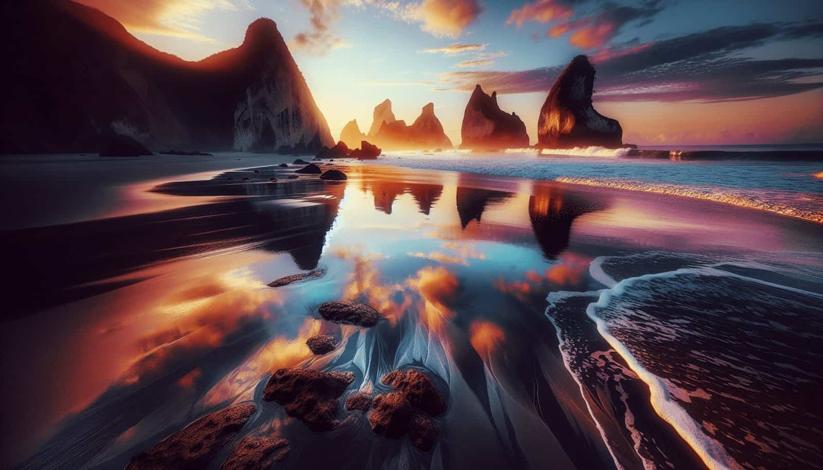
Have you ever stood on the edge of a beach in Nicaragua, sand beneath your feet, the waves crashing in, and wondered about the story of its genesis? The geological history and formations of these beaches are as captivating as the stunning vistas they offer. By understanding the geological narrative of Nicaragua’s beaches, you not only gain knowledge about the natural world but also appreciate the immense forces that have shaped these landscapes over millions of years. In this guide, you’ll learn how to uncover the rich geological tales behind Nicaragua’s beaches.

Understanding Beach Geology
The starting point in unlocking the secrets of a beach’s history is understanding basic beach geology. Beaches everywhere are shaped by a combination of processes including erosion, sediment deposition, and tectonic activity. In Nicaragua, these processes have been at work due to its unique positioning along tectonic plate boundaries.
The Role of Tectonic Plates
Nicaragua is situated along the boundary of the Cocos and Caribbean tectonic plates. This tectonic interaction contributes significantly to the geological diversity seen along its coastline. The subduction of the Cocos Plate beneath the Caribbean Plate is responsible for volcanic activity that has historically altered the land. By reading about tectonic plate movements and interactions, you can grasp how these powerful forces affect the geography of specific areas.
Sediment Sources and Transportation
The beaches themselves are composed of different types of sediments. These can be biological materials like coral and shell fragments or mineral-based materials like quartz and feldspar. The source of these sediments might be nearby mountain ranges, river systems, or even distant volcanic eruptions. Understanding how sediments are transported by ocean currents can help you identify why a particular beach has its distinct color and texture.
The Impact of Volcanic Activity
Volcanic eruptions have played a crucial role in shaping Nicaragua’s beaches. Ash from eruptions can settle over wide areas, influencing soil composition and contributing new materials to beaches. Volcanic islands and lava flows also directly alter coastal formations. By examining volcanic activity records, you can pinpoint significant geologic events and their effects on specific locations.
Learning Methods for Beach Geology of Nicaragua
Now that there’s a basic understanding of beach geology, the next step is learning how to discover the geological history and formations of specific beaches in Nicaragua. There are numerous approaches, ranging from academic research to practical field exposure.
Academic Research
Start by exploring academic databases and journals. Publications from geological societies often contain detailed studies of Nicaragua’s geological history. Look for research papers that focus on coastal geology, tectonic interactions, or specific events like volcanic eruptions. University libraries or online databases like JSTOR and Google Scholar are excellent places to comb through scholarly articles.
Books and Guides
Consider reading books specific to Nicaraguan geology and coastal biology. Guidebooks written by experts often contain case studies of specific beaches, complete with historical and geological context. These books can provide a narrative that ties together Nicaragua’s general geological activity with the formation of its beaches.
Local Museums and Cultural Centers
Local museums, particularly those focusing on natural history or geology, can be treasure troves of information. Exhibits and displays often detail the formation of coastal regions, illustrated with rock samples, maps, and photographs. Talk to curators or attend informational events to gain more personalized insights.
Online Courses and Lectures
Enroll in courses that cover general geology or focus on specific aspects, such as coastal geology. Universities and educational platforms like Coursera and edX often offer free courses that can broaden your understanding. Attending online lectures by geologists who specialize in Central American or Caribbean geology can also be enlightening.
Field Research: Experiencing Nicaraguan Beaches First-Hand
While theoretical knowledge is crucial, hands-on experience is invaluable. Visiting beaches and observing their characteristics can provide practical insights into their geological history.
Conducting Beach Surveys
Perform your own beach surveys by noting features such as rock formations, sediment types, and any visible volcanic rock. Take photographs and make sketches to document unique features. This detailed observation can be useful when later researching academic resources to identify relevant geological phenomena.
Guided Tours and Field Trips
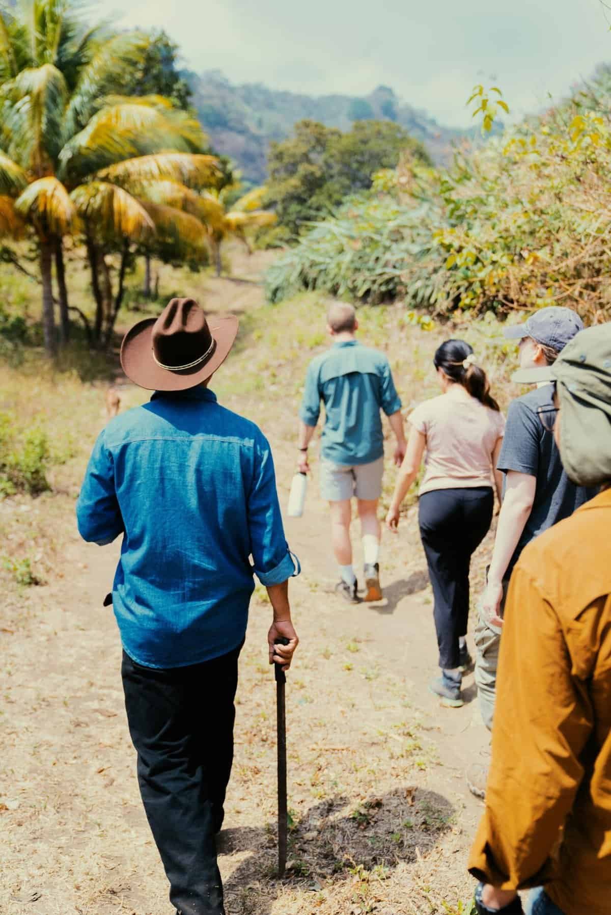
Opt for guided tours led by geologists or local experts familiar with Nicaraguan geology. These tours can offer insights you might otherwise miss and provide context for the observed formations. Scheduled field trips might include visits to nearby volcanoes or reserves to further understand the interconnectedness of Nicaragua’s coastal and inland geology.
Engaging with Local Communities
Local knowledge shouldn’t be underestimated. Engage with communities living near these beaches, as they might possess ancestral knowledge of geological changes and events. Stories passed down through generations can reflect long-term geological processes and changes.
Case Study: The Dual Volcanoes of Ometepe Island
To illustrate the process of understanding beach geology, Ometepe Island offers a fascinating case study. Ometepe, formed by two volcanoes, Concepción and Maderas, is located in Lake Nicaragua. This island showcases a blend of volcanic and sedimentary formations resulting from active volcanic periods and sediment accumulation.
Volcanic Impact on Beach Formation
The eruptions of Concepción have historically impacted beach compositions. Study the lava flows and pyroclastic deposits visible on the island, which age back several centuries. These provide real-world examples of how volcanic materials contribute to beach stratigraphy.
Sedimentary Contributions
Between volcanic activities, rivers and streams deposit sediments into surrounding beaches. Researching the island’s hydrology can reveal how the interplay between fresh and volcanic sediments creates dynamic coastal environments.
Biodiversity and Geological Influence
Ometepe’s biodiversity is deeply influenced by its geological makeup. Studies on how volcanic substratum supports unique flora and fauna can help underscore the interdependency of geology and ecology. This understanding facilitates a comprehensive view of beach formation processes over time.

Tools and Technologies for Geological Research
Technology facilitates the exploration of beach geology in ways that are both powerful and accessible.
Using GIS and Mapping Tools
Geographical Information Systems (GIS) allow you to map Nicaragua’s geological features and study beach profiles. Tools like ArcGIS can layer topographical, geological, and environmental data, revealing complex interactions among natural forces. Explore open access data from the Nicaraguan geological surveys and utilize GIS software to personalize your research projects.
Remote Sensing and Aerial Photography
Drones and satellite imagery offer alternative perspectives on geology. Remote sensors can detect mineral compositions, while aerial photography allows for the analysis of erosion patterns, sediment placement, and tectonic movement over time. Use established databases like Google Earth Engine to study time-lapsed images of Nicaragua’s coastlines.
Engaging with Geological Software
Several software programs allow for modeling of geological processes. Programs like GEODE provide simulations of volcanic and tectonic activity. Experimenting with these simulations can grant deeper insights into how such processes may have historically influenced Nicaragua’s beach landscapes.
Challenges and Considerations in Studying Beach Geology
Understanding the geological history of beaches is complex, and there are several challenges and considerations.
Variability of Geological Features
Each beach has a unique combination of geological features, complicating uniform analysis. Coastal landscapes change frequently, sometimes rapidly due to human impact or natural events like earthquakes or storms. Consider the fluidity of geology and never settle for static interpretations.
Environmental Sensitivity
Beaches are environmentally sensitive zones. Research should be conducted responsibly, minimizing disturbances. When performing fieldwork, adhere to environmental guidelines to ensure minimal impact on local ecosystems.
Balancing Scientific and Cultural Perspectives
Scientific research can sometimes overlook cultural aspects of geological features. Respect indigenous cultures and local communities who may associate particular beaches with historical or sacred significance. Strive to integrate both scientific and cultural narratives for a richer understanding.

Conclusion
With a commitment to learning and exploration, you can deeply appreciate the compelling narratives found in the sands of Nicaragua’s beaches. By combining academic research, practical fieldwork, and technological resources, you’ll uncover the intricate tapestry of natural forces that crafted these coastal gems. As the Cuban writer Jose Marti once mused, “I want to be educated so I can appreciate more the world around me.” Embrace this educational journey, and let it enrich your coastal experiences, forever casting Nicaragua’s beaches in a new, enlightening light.
